Year 10 geographers were back in North Wales in June to complete further fieldwork for their GCSE course. Earlier in the year, they visited Erddig near Wrexham conducting an investigation along the River Clywedog. This time their destination was Snowdonia National Park.
Their first stop was the Nant Ffrancon valley near Bethesda.
Nant Ffrancon is a steep-sided glacial valley. Paper 1 of their GCSE exam, which covers physical landscapes, requires students to refer to a named glaciated environment that they have studied.
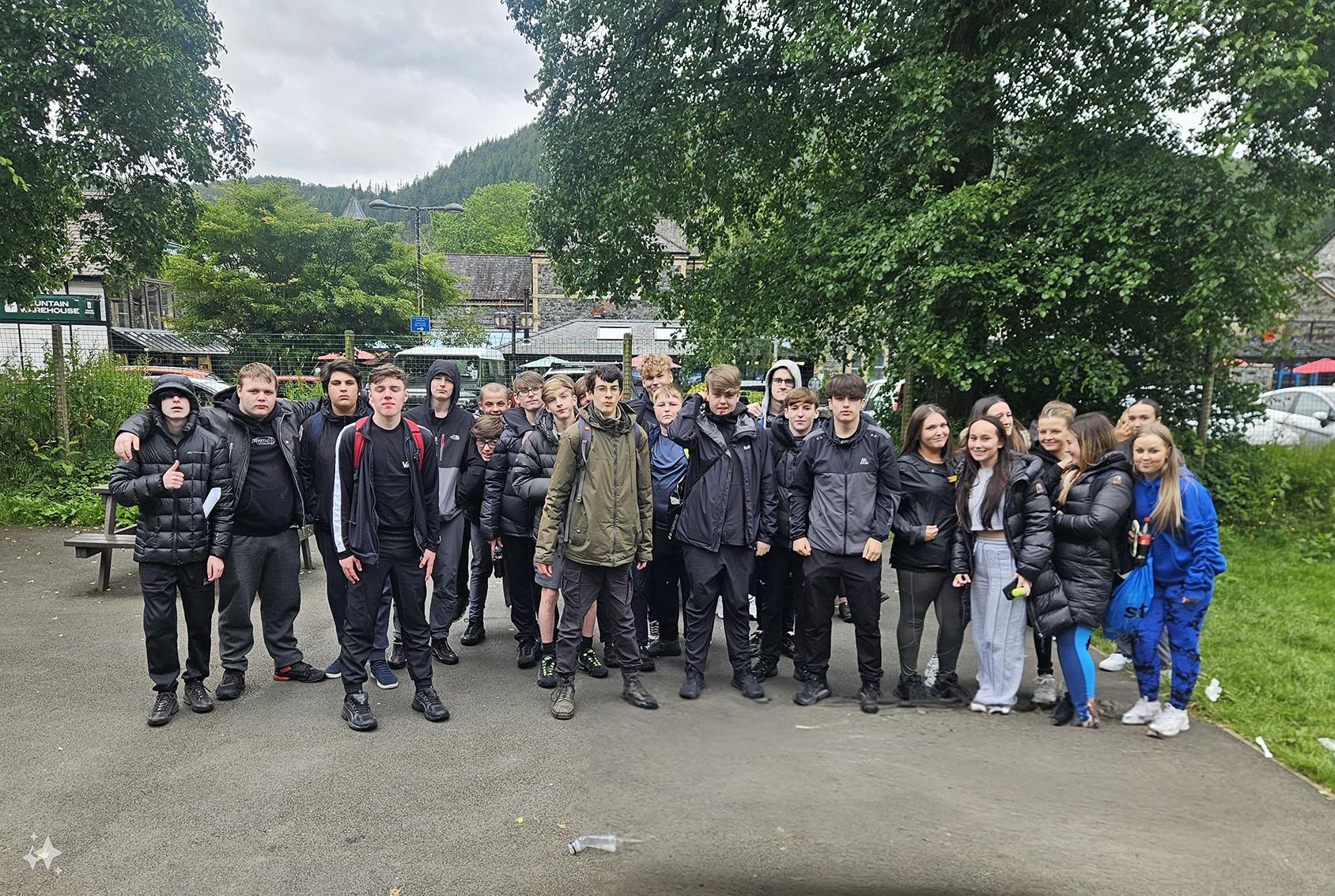
Their next stop was the market town of Llanrwst on the River Conwy and then – the main destination – the picturesque village of Betws-y-Coed.
Betws-y-Coed has been described as “the gateway to Snowdonia” and “a Welsh village with an Alpine feel”. Not surprisingly, it is an extremely popular tourist destination.
The purpose of these two stops was to collect data. Although the two places are only about ten minutes apart, only Betws-y-Coed is inside the national park. This enables the students to investigate the extent to which tourism affects each location and the impact of national-park status.
The students used different data-collection methods: